In the last few years, drone use in the construction industry has increased. Aerial surveying has made it easier and safer to monitor construction progress.
For a recent report, Mapping the Friendly Skies: How Drone Mapping is Changing the Construction Industry, engineering.com interviewed professionals from across the construction industry to talk about drone mapping best-practices, and the factors that construction professionals should consider before buying their own drones.
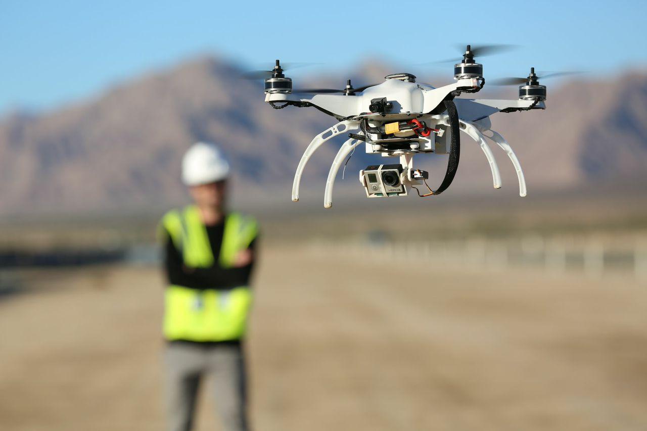
The report also probes the different kinds of drones, imaging systems, and mapping software available to construction professionals. In the construction industry, multirotor drones (drones with more than one “propeller”) are the most common, because they’re inexpensive to fly, easy to position, and least likely to cause damage or injury.
There are two main types of drone imaging systems, photogrammetry and LiDAR, and both systems are useful for different projects. Photogrammetry involves taking pictures of the site from different angles to build a 3D RGB model, whereas LiDAR (Light Detection and Ranging) involves firing multiple rapid pulses of laser light toward the ground and building a point cloud depth map from the time it takes for the beams to return.
With the rise of aerial data mapping, more and more mainstream BIM companies like Bentley, Autodesk, and Trimble have started offering ways to use context capture data directly in BIM applications. For these companies, the goal is to offer an end-to-end solution that makes context-capture data a natural part of the user’s workflow.
In this research report, you’ll learn:
- What drone is right for your objectives
- The differences between and advantages of both LiDAR and photogrammetry data collection techniques
- What data storage options you should consider when mapping with a drone
Read the report: